|
The towpath is closed due to the levee repairs along the Tuscarawas River in Massillon. OTET's suggested trail detour including a link to a map is posted at:
https://www.ohiotoerietrail.org/2021/03/24/massillon-detour/ This 1.3 mile road route will get you to the Sippo Trail, which you can follow east, back to the towpath south.
0 Comments
This was previously posted in the Portage County Roads Page on 8/13/2021
This round of repairs includes county roads in Brimfield, Atwater and Randolph townships:
The bridge across the West Branch of the Mahoning River, half a mile west of Garrett Rd is closed until repairs can be made in late 2022. The lowest traffic cycling detour from Peck Road to the east is via McCormick and Garrett Rds.
The following roads will be resurfaced in 2021. None of these appear to impact current trail connection routes posted on this site.
Alden Drive from Gloucester Road to North Delemonte Boulevard Fronek Road from Fairacres Avenue to South Delemonte Boulevard Gloucester Road from Greentree Parkway to the north end Market Square Drive from Route 303 to Route 14 Mids Court from the south end to the north end Mitchell Drive from Dorothy Drive to Mount Vernon Drive Murial Drive from Dorothy Drive to Mount Vernon Drive Opal Court from the west end to the east end Sidney Drive from Dorothy Drive to Mount Vernon Drive Sparrow Run from North Delemonte Boulevard to the east end Stratford Court from the south end to Gloucester Road Walsh Drive from Jennifer Lane to Danns Way Wiencek Road to Annalane Drive to Route 303 Yesterday I had the pleasure of riding with a couple that decided to use this website as a way to navigate around Cleveland on mostly rural roads and trails. Rachel and Patrick are from Boise, Idaho, and are traveling from Washington to Maine on their own version of the Northern Tier Route. They are incorporating trails as much as possible. They entered our area from the west using the Valley Parkway Trail, Towpath to Pennisula, Rt 303, and the Summit Hike and Bike trail. Happy to demonstrate the route, I met up with Rachel and Patrick on the Portage Hike and Bike Trail early on August 16th, near the North Water Brewing Company. A light rain began almost immediately and continued throughout the day. We followed the trail to its terminus at Peck Road, and continued north on Peck for seven miles. This road is also part of the Buckeye Trail. It intersects with the Headwaters Trail less than a mile from downtown Mantua, a potential stopping point for cycle tourists and a Buckeye Trail Town. We continued east to Garrettsville and used the newly paved connector from the trail end at the city ballfields to reach Rt 82. Stopping for a snack at the nearby IGA, we then scooted around the back of the building and continued east on quiet country lanes including Silica/Pierce, Silica Sand, and Eagle Creek Roads. The only hiccup was a detour necessitated by a missing bridge where Silica Sand Rd crosses Eagle Creek. A construction worker confirmed there was “nothing there but swimming snakes and rocks.” 11/10/21 Update: The bridge was back in service by November as planned. We took a slightly more southerly route to the Western Reserve Greenway alignment than the connection I promote on this site, as they planned to stay in downtown Warren near the county courthouse. They will head up the WRG next, and plan to travel the Erie Canalway before continuing north, then east. You can read more about their travels at: www.cycleblaze.com/journals/racpatnortherntier2021/ 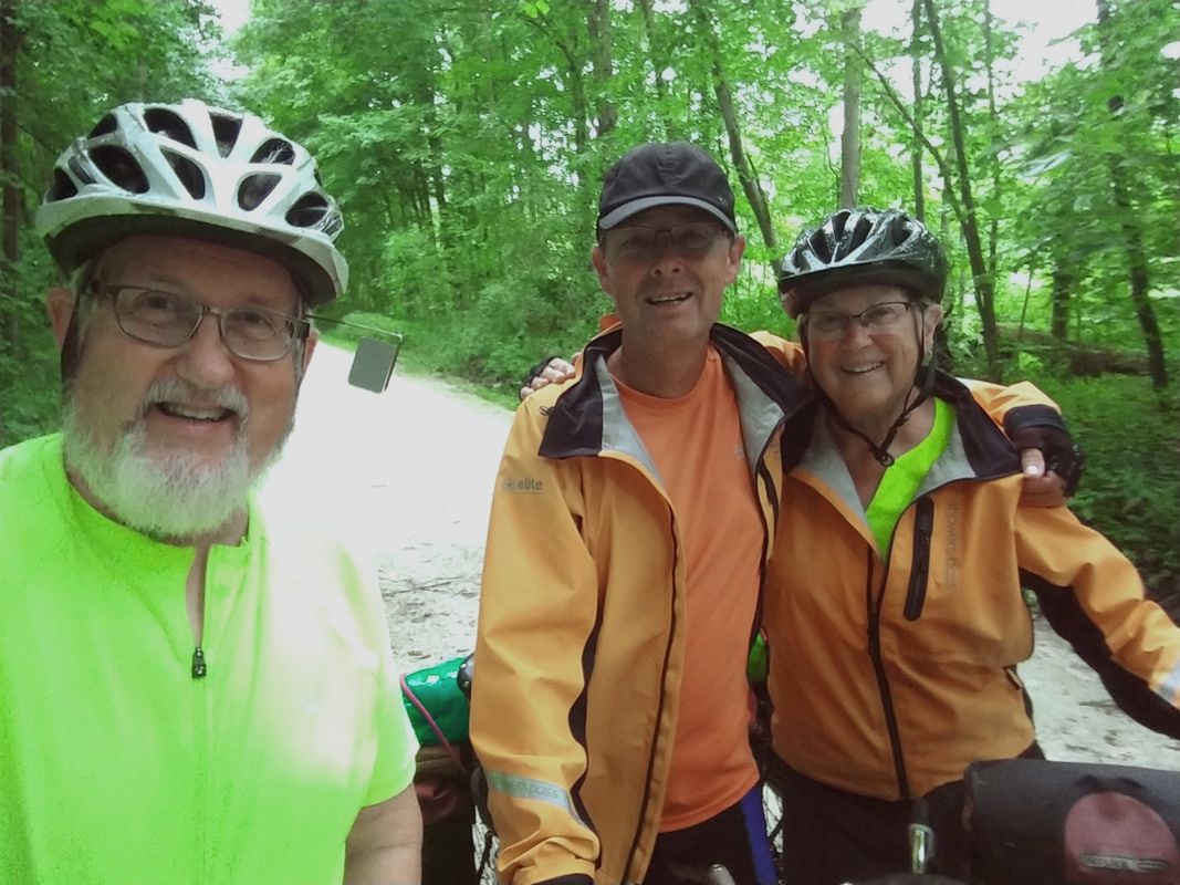 Some repaving is planned for the remainder of 2021 for the following roads:
Diagonal Rd from Route 303 to Mennonite Road Ranfield Road, from Old Forge Road to Saxe Road Lake Rockwell Road, from Brady Lake Road to Ravenna Road. Those interested in riding directly to Warren from Garrettsville, will need to rethink their route, at least until the end of October 2021. If leaving the Headwaters Trail in Garrettsville via Silica/Pierce Rd and continuing east on Silica Sand Rd, you will find the bridge over Eagle Creek has been removed for replacement. The road is blocked just beyond Haul Rd, which appears to be a private, packed gravel service road leading to Rt 82. The gate may be open (it was on 8/16). The official detour appears to be Parkman Rd. (from Pierce to 82). Once on 82, continue east to Shanks-Downes Rd (N), Shanks-Phalanx Rd (E), Braceville-Robinson Rd (N), and Eagle Creek Rd (E). If heading towards the Courthouse District, turn left on N. Levitt Rd., ride thru the CVS parking lot at the intersection with 422, and ride on the sidewalk (if busy) until you cross the river. Then left on Tod Ave. Easy Peasy from there.
|
 RSS Feed